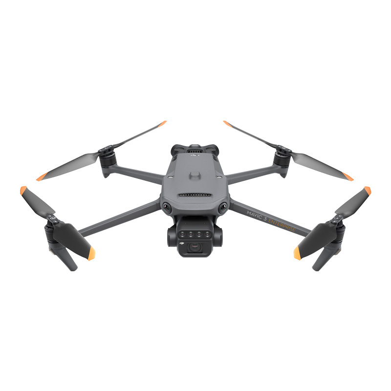
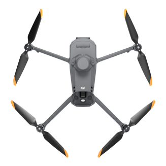
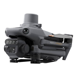
Dron DJI Mavic 3 Multispectral C2 + DJI Care 1 rok
-
Watch the product:
- Add feedback:
- Code: INN_45480
- Manufacturer: DJI Enterprise
- Availability: 1 working day
-
- 4,943.75 EUR
- szt.
BUY NOW AND CREATE YOUR DREAM HOME. DO IT NOW IN 3 SIMPLE STEPS.
Your purchases will be delivered by DPD Courier.
You can pay for your purchases with credit card or bank transfer using safe PayU system or bank transfer.
You've made a good choice. However, if you return the product within 14 days, you'll receive a full refund.
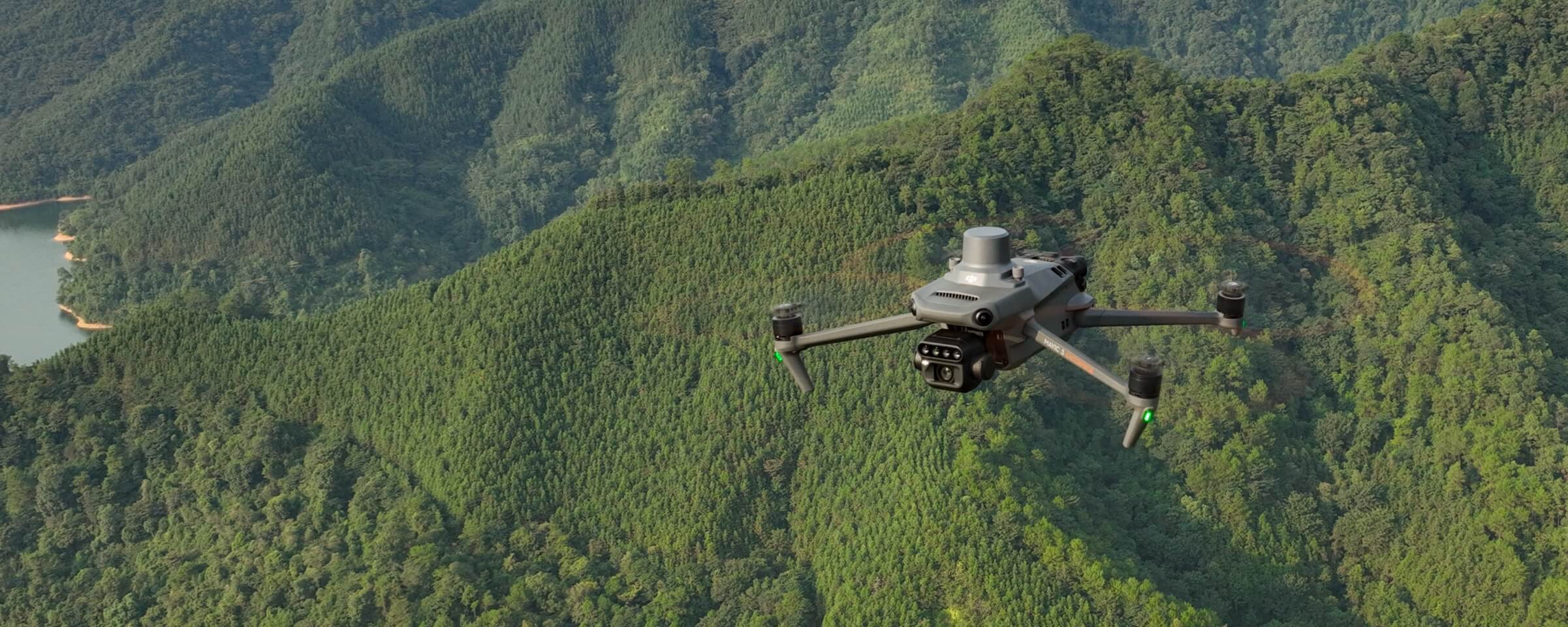
DJI Mavic 3 Multispectral - Uchwyć więcej danych, pracuj wydajniej
To conduct effective aerial surveys, you need to see the invisible. That's why the Mavic 3 Multispectral offers two forms of vision. It combines an RGB camera with a multispectral camera to scan and analyze crop growth, providing complete transparency. Managing agricultural production requires precision and data, and the 3M Mavic delivers both.
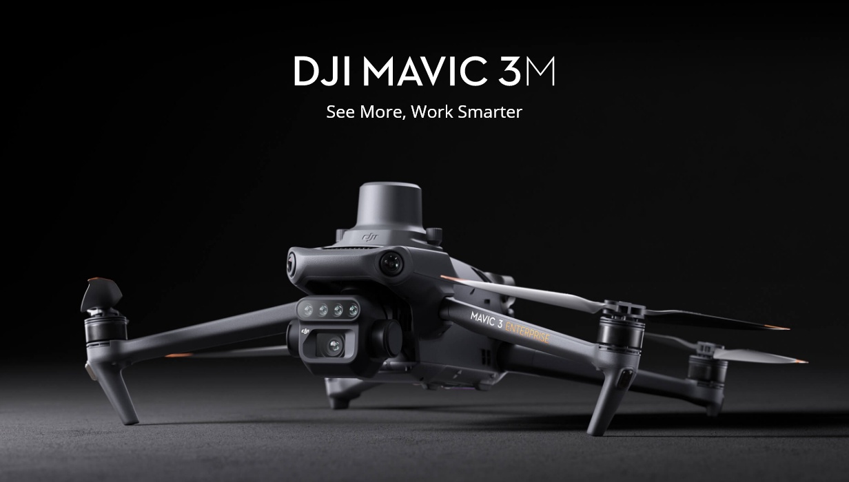
Highly integrated imaging system
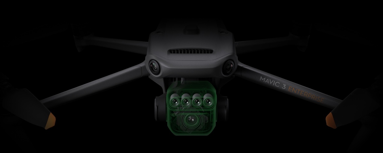
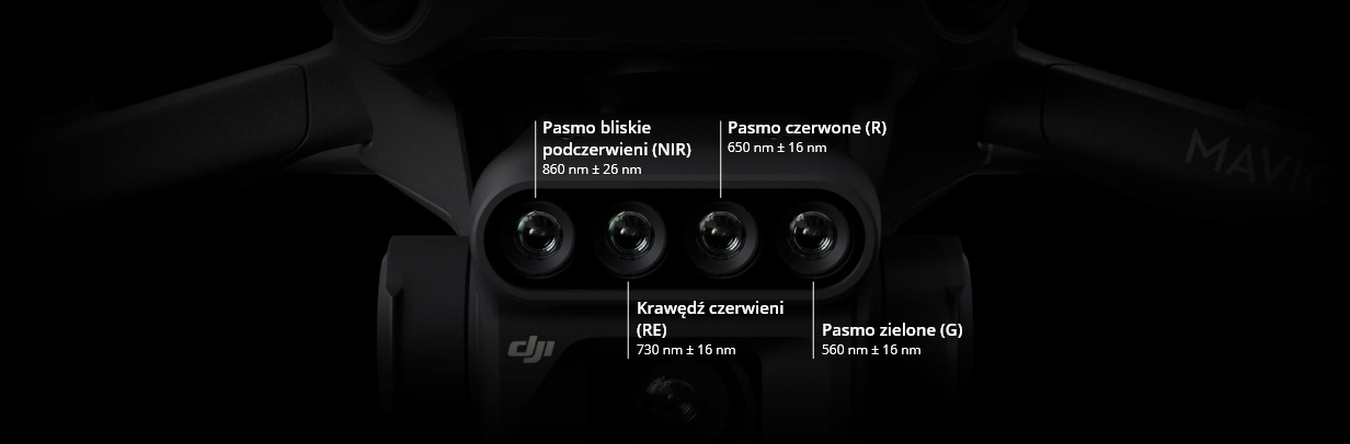
Newly enhanced imaging system with one 20MP RGB camera and four 5MP multispectral cameras (green, red, red edge, and near-infrared). Suitable for applications such as precision aerial surveying, crop growth monitoring, and natural resource research.
Multispectral sensors with 5 MP resolution
Four multispectral cameras - green, red, red edge and near infrared.
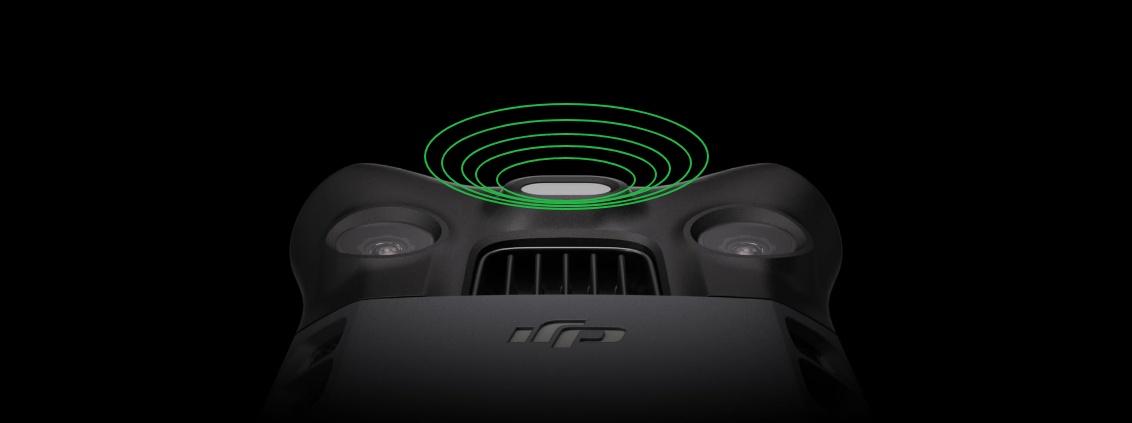
Sunlight Sensor
The built-in sensor captures solar radiation and stores it in the image file, enabling light compensation during 2D reconstruction. As a result, you can enjoy more accurate NDVI results, as well as greater precision and consistency of data acquired over time.
Precise photos that capture every pixel
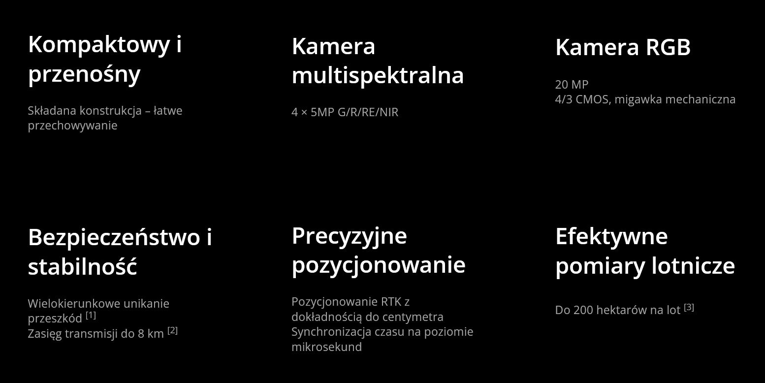
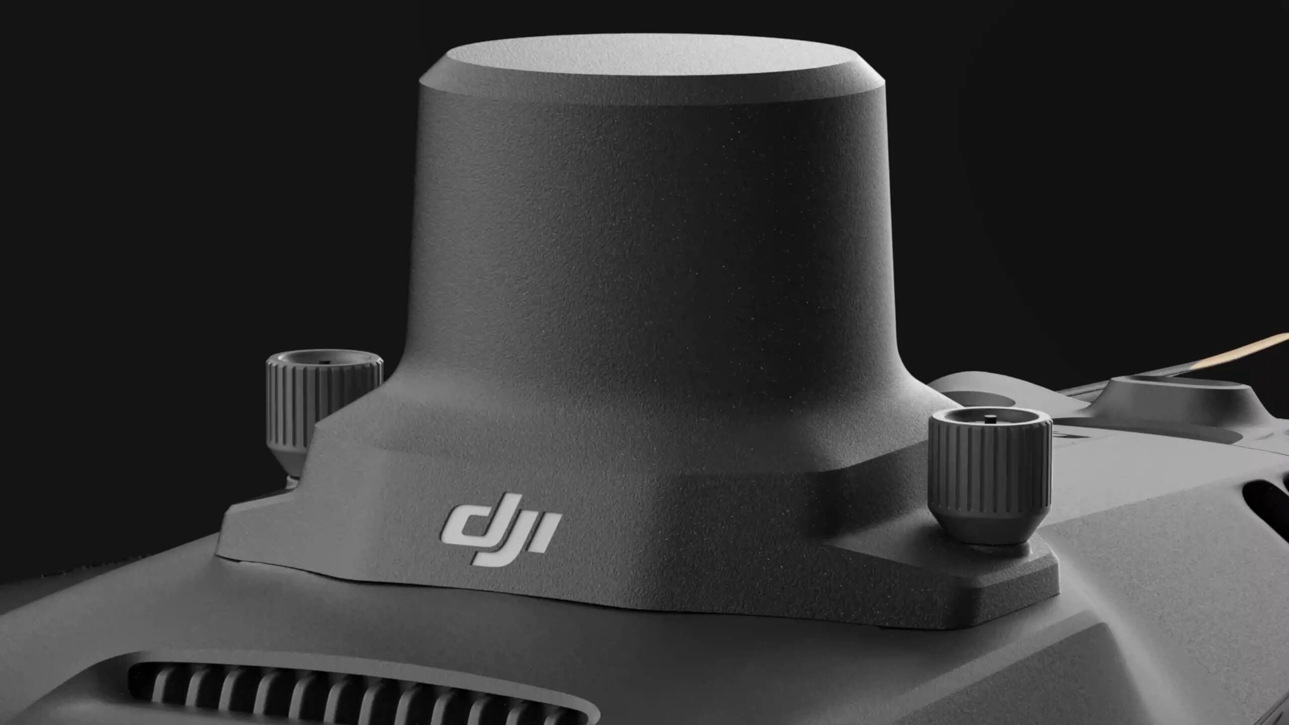
The Mavic 3M is equipped with an RTK module, which provides centimeter-precise positioning. The flight control system, camera, and RTK module synchronize within microseconds to precisely determine the position of each camera's imaging center. This allows the Mavic 3M to conduct accurate aerial measurements without the use of ground control points.
Performance-optimized batteries
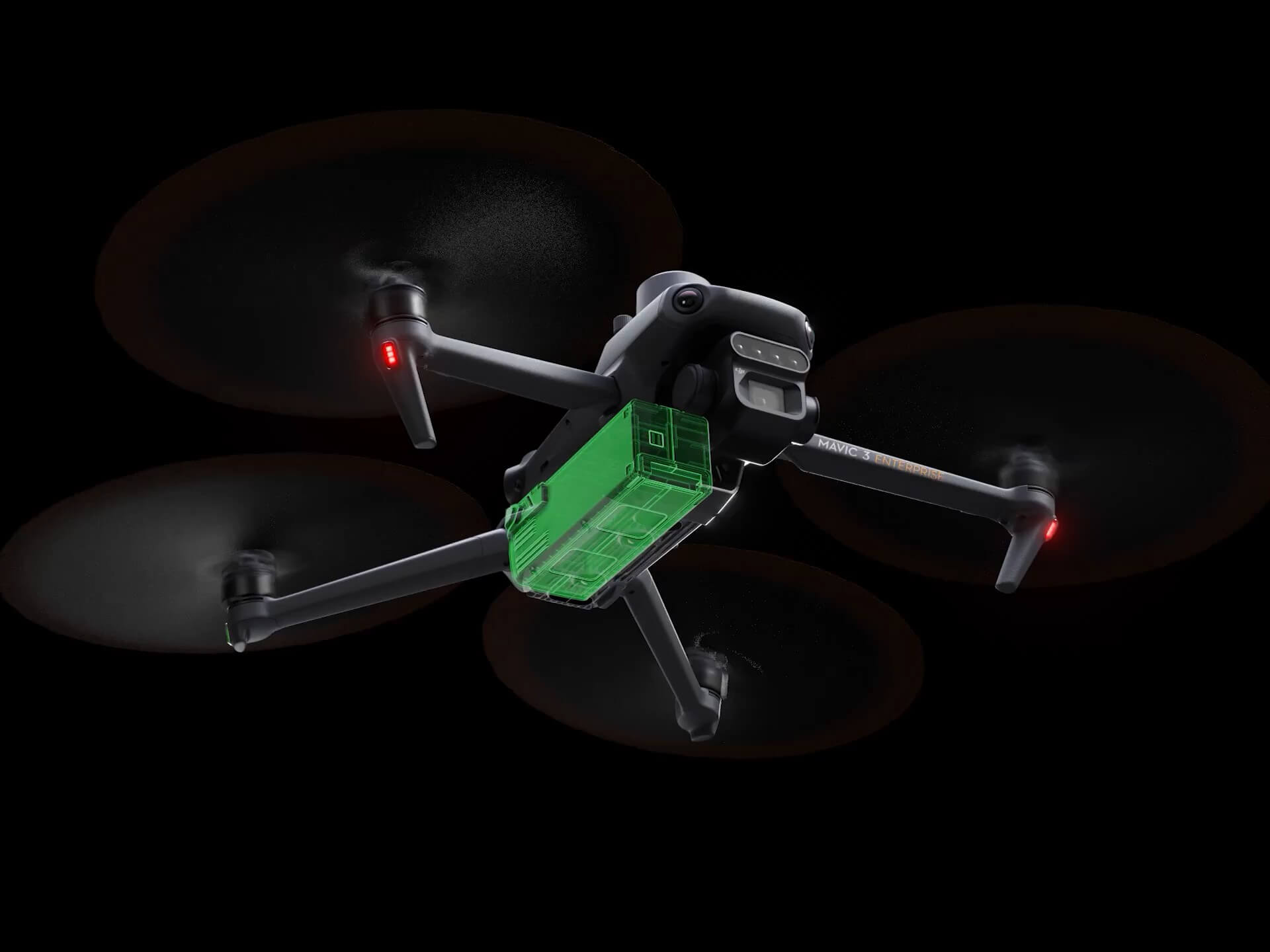
A flight time of up to 43 minutes allows for more ground coverage during each mission, allowing for coverage of up to 200 hectares.
Convenient charging
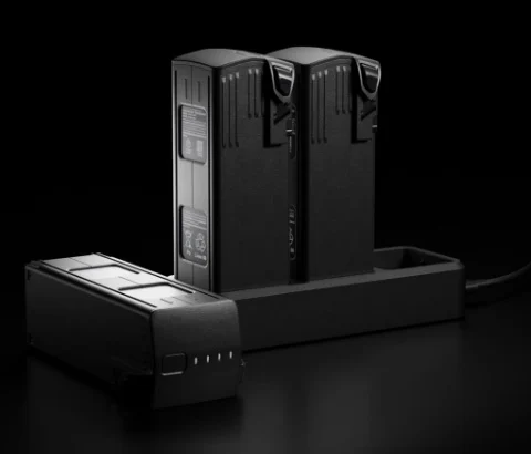
Quickly charge batteries with the 100W HUB charger or directly charge the drone with 88W fast charging.
Stable signal, smooth image transmission
The O3 system integrates two transmitting signals and four receiving signals, allowing it to provide a transmission range of up to 8 km.
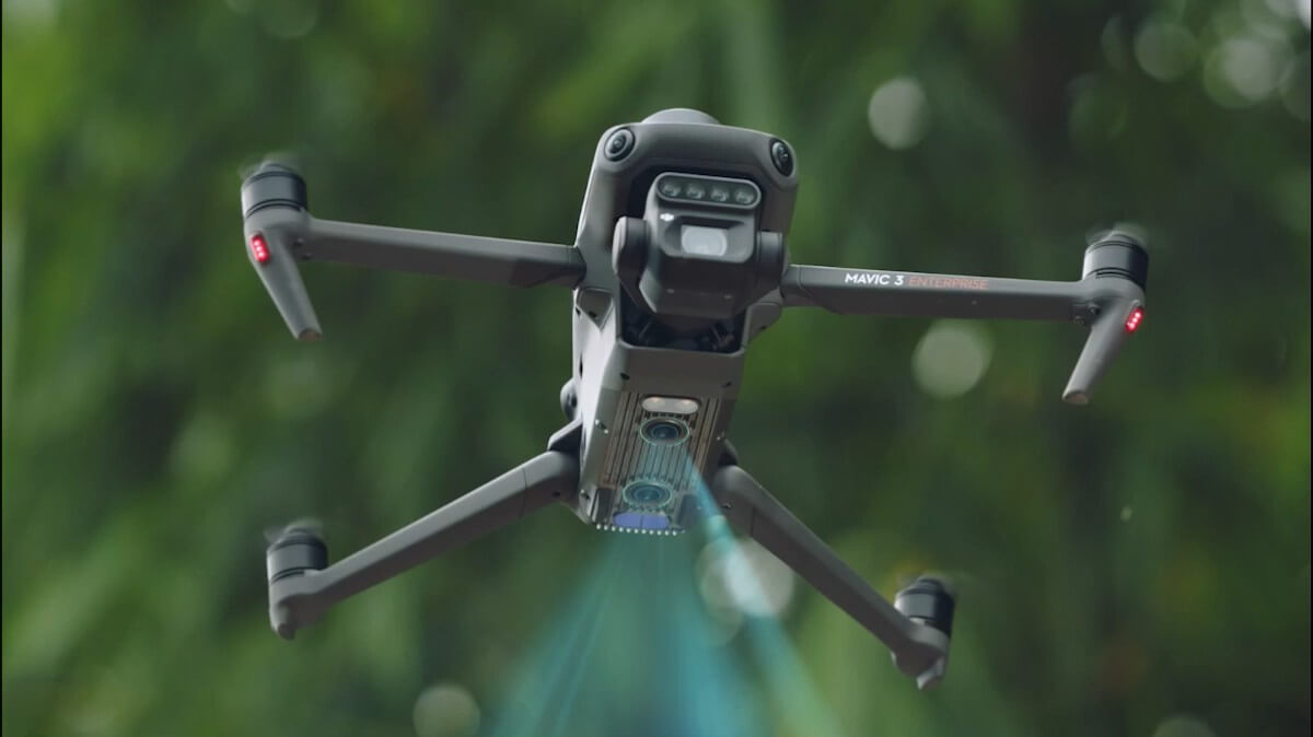
Omnidirectional obstacle detection [1], terrain-follow measurements
The drone is equipped with a range of vision sensors that offer a wide field of view, precisely detect obstacles in all directions, and allow for smooth obstacle avoidance. Furthermore, the Mavic 3M allows for easy terrain-following measurements in steeply sloping areas.
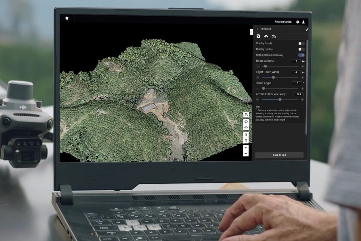
Orchard Mapping
The 3M Mavic enables terrain-following aerial surveys in orchards – even on sloped terrain. You can also use it with DJI Terra or DJI SmartFarm Platform [6] to reconstruct high-resolution maps and benefit from automatic tree identification, distinguishing trees from other objects, and generating 3D operational routes for agricultural drones. All this translates into greater safety and efficiency.
Planning variable doses of fertilizers and plant protection products
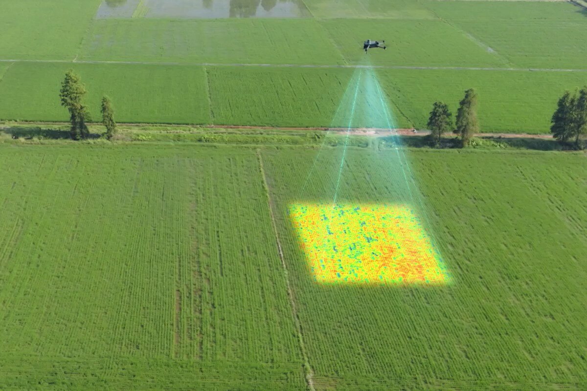
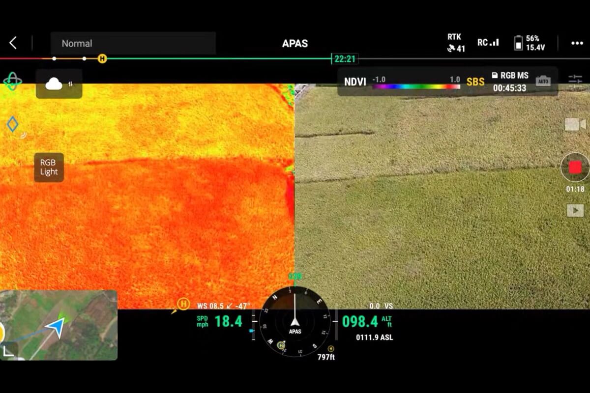
Whether fertilizing rice, regulating cotton growth, or spraying potatoes with foliar fertilizers – in any case, the 3M DJI Mavic will allow you to obtain multispectral crop images. You can then use DJI Terra or the DJI SmartFarm Platform [6] to prepare NDVI maps and other vegetation indices, capturing differences in crop potential and generating recommendation maps that allow agricultural drones to vary the application of selected inputs. All this allows users to reduce costs, increase yields, and protect the environment.
Intelligent Field Reconnaissance
The 3M Mavic can conduct automated field reconnaissance and transmit field observation images to the DJI SmartFarm Platform [6] in real time via a 4G network. It enables the rapid detection of irregularities such as non-emergence, weed density, and crop lodging. It also enables intelligent analysis, such as cotton seedling identification and rice production testing. The drone uses artificial intelligence to provide real-time crop growth information, facilitate agronomic management, and enable seamless management of up to 70 hectares by a single operator.
Monitoring the environment and natural resources
The 3M Mavic will also be used in environmental and natural resources research, for example when monitoring water enrichment or checking the distribution of forests, inspecting urban green areas and more.
Footnotes:
1. DO NOT fly in severe weather conditions such as strong winds (wind speeds of 12 m/s or more), snow, rain, or storms. DO NOT fly in areas at an altitude of 6,000 meters or higher above sea level. DO NOT fly the drone in environments where the temperature is below -10°C (14°F) or above 40°C (104°F). DO NOT take off from moving objects such as cars and ships. DO NOT fly near reflective surfaces such as water or snow. Otherwise, the Vision Positioning System may not work properly. When the GNSS signal is weak, fly the drone in environments with good lighting and visibility. The Vision Positioning System may not work properly in low light conditions. Please be mindful of flight safety when flying near sources of electromagnetic interference. Common sources of electromagnetic interference include high-voltage power lines, high-voltage transmission stations, radar stations, cell phone base stations, broadcast towers, Wi-Fi hotspots, routers, and Bluetooth devices.
2. The CE standard has a transmission range of up to 8 km. A transmission range of up to 15 km can be achieved according to the FCC standard only when measured in an outdoor environment without interference. The SRRC standard is adopted in mainland China, and its farthest transmission range is 8 km. The above data is the farthest communication distance for one-way, non-return flights within each standard. Please pay attention to the messages in the DJI Pilot 2 app during flight.
3. Detailed test conditions: In a sunny, windless environment, an orthophoto is acquired at a flight speed of 15 m/s, a flight altitude of 217 m, a ground sample distance (GSD) of 5.73 cm for visible and 10 cm for multispectral, a front-to-back overlap ratio of 70%, and a lateral overlap ratio of 60%.
4. Measured by flying the DJI Mavic 3M at a constant speed of 36 km/h, at sea level, in a windless environment, until the battery level dropped to 0%. The information provided is for reference only. Always pay attention to RTH messages in the DJI Pilot 2 app during flight.
5. Optional accessories. This service is not available in some countries. For more details, contact your local distributor. Do not install the DJI Cellular module when using the multispectral camera to capture data to avoid blocking the intensity sensor.
6. The DJI Smart Agricultural Platform will be supported in the second quarter of 2023. This service is not available in all countries. For more details, please contact your local distributor.
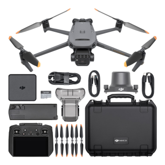
Kit Contents
- Mavic 3 Multispectral Drone
- RTK module
- DJI Care Enterprise Basic for 1 year
- DJI SmartFarm Platform
- DJI Terra Flagship software for 3 months (trial version, automatic activation)
- 1x Drone Battery
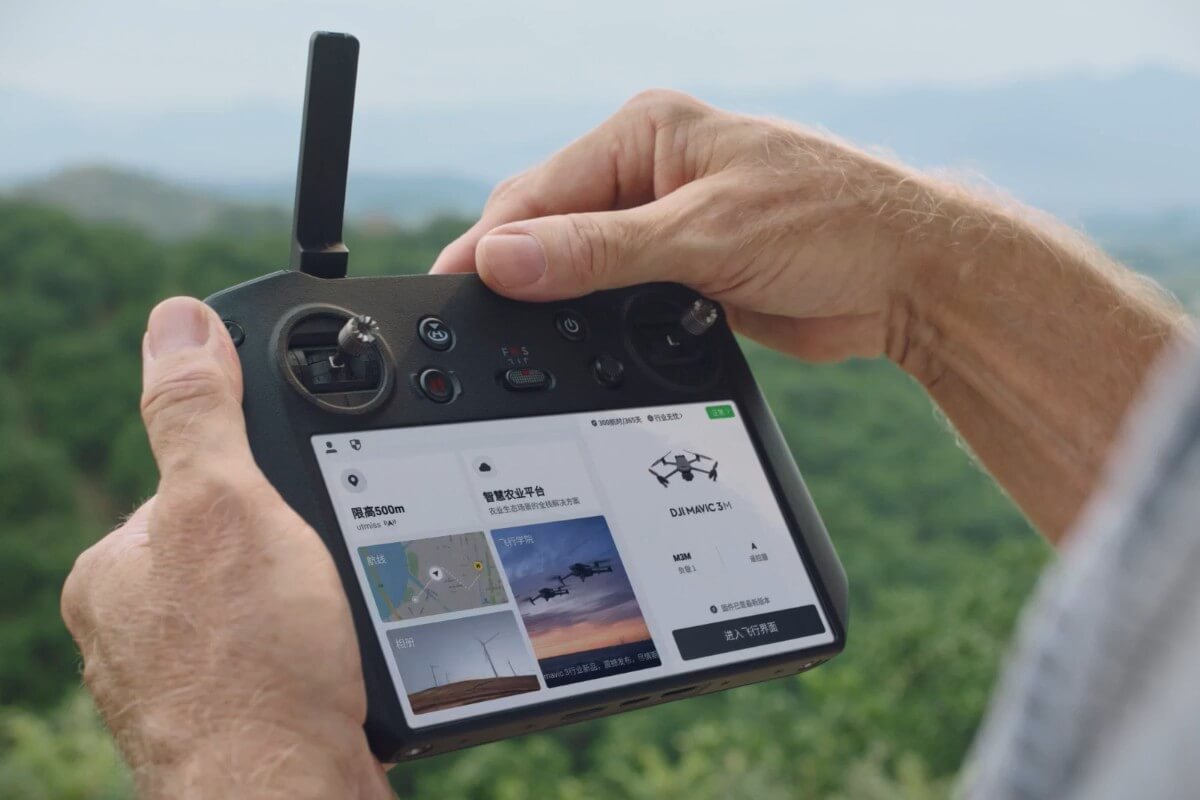
- DJI RC Pro Enterprise Remote Controller
- USB-C Wall Charger
- 2x USB-C cables
- Power cable
- Camera Cover
- 3x pair of spare propellers
- Allen key
- 64GB memory card
- Transport case
| DRONE | |
|---|---|
| Net weight (with propellers and RTK module) [1] | 951 g |
| Maximum takeoff weight | 1050 g |
| Dimensions | Folded (without propellers): 223×96.3×122.2 mm (length × width × height) Unfolded (without propellers): 347.5×283×139.6 mm (length × width × height) |
| Diagonal | 380.1 mm |
| Maximum climb speed | 6 m/s (Normal Mode) 8 m/s (Sport Mode) |
| Maximum Fall Speed | 6 m/s (S Mode) 6 m/s (N Mode) |
| Max flight speed (no wind) | 15 m/s (N Mode) Forward: 21 m/s, Sideways: 20 m/s, Backward: 19 m/s (S Mode)[2] |
| Maximum wind speed resistance | 12 m/s[3] |
| Maximum take-off altitude above sea level | 6000 m (without payload) |
| Max. flight time (no wind) | up to 43 min[4] |
| Max. hover time (no wind) | up to 37 min |
| Maximum flight distance | up to 32 km (CE)[4] |
| Maximum tilt angle | 30° (N Mode) 35° (S Mode) |
| Maximum angular velocity | 200°/s |
| GNSS | GPS + Galileo + BeiDou + GLONASS (GLONASS is only supported when RTK is enabled) |
| Hover Accuracy | Vertical: ±0.1 m (with vision system); ±0.5 m (with GNSS); ±0.1 m (with RTK) Horizontal: ±0.3 m (with vision system); ±0.5 m (with high-precision positioning system); ±0.1 m (with RTK) |
| Operating temperature range | -10° to 40° C |
| Internal memory | None |
| Engine Model | 2008 |
| Propeller Model | 9453F - Enterprise |
| Light sensor | Built into the drone |
| RGB CAMERA | |
| Image Sensor | 4/3 CMOS Effective pixels: 20 MP |
| ISO Range | 100-6400 |
| Shutter speed | Electronic shutter: 8-1/8000 s Mechanical shutter: 8-1/2000 s |
| Maximum image size | 5280×3956 |
| Shooting Mode | Single shot: 20 MP Timelapse: 20 MP JPEG: 0.7/1/2/3/5/7/10/15/20/30/60 s JPEG + RAW: 3/5/7/10/15/20/30/60 s Panorama: 20 MP (original footage) |
| Video Resolution | H.264: 4K: 3840×2160@30fps FHD: 1920×1080@30fps |
| Maximum Video Bitrate | 4K: 130Mbps FHD: 70Mbps |
| Supported file system | exFAT |
| Image format | JPEG/DNG (RAW) |
| Video format | MP4 (MPEG-4 AVC/H.264) |
| MULTISPECTRAL CAMERA | |
| Image Sensor | 1/2.8-inch CMOS, Effective pixels: 5 MP |
| Lens | FOV: 73.91° (61.2° x 48.10°) Equivalent focal length: 25 mm Aperture: f/2.0 Focus: Fixed focus |
| Multispectral camera bandwidth | Green (G): 560 ± 16 nm; Red (R): 650 ± 16 nm; Red Edge (RE): 730 ± 16 nm; Near infrared (NIR): 860 ± 26 nm; |
| Amplification Range | 1x-32x |
| Shutter speed | Shutter speed |
| Maximum image size | 2592×1944 |
| Image format | TIFF |
| Video Format | MP4 (MPEG-4 AVC/H.264) |
| Shooting Mode | Single shot: 5 MP Timelapse: 5 MP TIFF: 2/3/5/7/10/15/20/30/60 s |
| Video Resolution | H.264 FHD: 1920 x 1080@30fps Video Content: NDVI/GNDVI/NDRE |
| Maximum Video Bitrate | Stream: 60 Mbps |
| SENSOR SYSTEM | |
| Sensor System Type | Dual-sensor omnidirectional vision system with an infrared sensor at the bottom of the drone |
| Forward | Distance measurement range: 0.5 m to 20 m Detection range: 0.5 m to 200 m Effective obstacle avoidance speed: Flight speed ≤15 m/s FOV: Horizontal 90°, vertical 103° |
| Backward | Distance measurement range: 0.5 m to 16 m Effective obstacle avoidance speed: Flight speed ≤12 m/s FOV: Horizontal 90°, vertical 103° |
| Sideways | Distance measurement range: 0.5 m to 25 m Effective obstacle avoidance speed: Flight speed ≤15 m/s FOV: Horizontal 90°, vertical 85° |
| Up | Distance measurement range: 0.2 m to 10 m Effective obstacle avoidance speed: Flight speed ≤6 m/s FOV: Front and back 100°, left and right 90° |
| Down | Distance measurement range: 0.3 m to 18 m Effective obstacle avoidance speed: Flight speed ≤6 m/s FOV: Front and back 130°, left and right 160° |
| Operating environment | Front, back, left, right, top: Surfaces with clear patterns and adequate lighting (> 15 lux, environments with normal indoor fluorescent lighting) Below: Surfaces with diffusely reflective material and a reflectance of > 20% (such as walls, trees, people, etc.); Adequate lighting (> 15 lux, environments with normal indoor fluorescent lighting) |
| GIMBAL | |
| Stabilization System | 3-axis mechanical gimbal (tilt, roll, pan) |
| Mechanical Range | Tilt: -135° to 45° Roll: -45° to 45° Pan: -27° to 27° |
| Controlled Range | Tilt: -90° to 35° Pan: Uncontrolled |
| Max Steering Speed (Pitch) | 100°/s |
| Angular vibration range | ±0.007° |
| VIDEO TRANSMISSION | |
| Video Transmission System | DJI O3 Image Transmission Industry Edition |
| Live View Quality | Remote Control: 1080p/30fps |
| Working Bandwidth | 2.400-2.4835 GHz 5.725-5.850 GHz |
| Maximum effective signal distance (unobstructed, free of interference) | CE: 8 km SRRC: 8 km MIC: 8 km |
| Maximum transmission distance (with obstacles) | Strong Interference (cityscapes, residential areas, etc.): 1.5-3 km (FCC/CE/SRRC/MIC) Medium Interference (suburban landscapes, city parks, etc.): 3-6 km (CE/SRRC/MIC) Weak Interference (remote fields, open agricultural areas, etc.): 6-8 km (CE/SRRC/MIC) |
| Maximum download speed | 15 MB/s (with DJI RC Pro Enterprise Edition) |
| Latency (depending on environment and mobile device) | About 200 milliseconds |
| Antennas | 4 antennas, 2 transmitting and 4 receiving |
| Transmitter power (EIRP) | 2.4 GHz: <20 dBm (CE/SRRC/MIC) 5.8 GHz: <30 dBm (SRRC), <14 dBm (CE) |
| Other | Supports DJI Cellular Module |
| BATTERY | |
| Capacity | 5000 mAh |
| Standard Voltage | 15.4 V |
| Maximum charging voltage | 17.6 V |
| Cell Type | LiPo 4S |
| Chemical composition of the cell | Lithium Cobalt |
| Energy | 77 watt-hours |
| Mass | 335.5 g |
| Charging Temperature | 5° to 40° C |
| STORAGE | |
| Supported microS cards | Drone: Please use a memory card with a speed index of V30 or higher, or use a memory card from the recommended list |
| Recommended microSD cards | Aparatura zdalnego sterowania: Dron: |
| ŁADOWARKA AKUMULATORÓW | |
| Wejście | 100V do 240V (AC), 50Hz do 60Hz, 2.5A |
| Moc wyjściowa | 100 W |
| Exit | Maximum output power 100W (total) When both ports are used, the maximum output power of one interface is 82W, and the charger will dynamically allocate the output power of the two interfaces according to the load power. |
| CHARGING HUB | |
| Entry | USB-C: 5V to 20V, 5.0A |
| Exit | Battery port: 12V to 17.6V, 8.0A |
| Rated power | 100 W |
| Charging Type | 3 batteries charged individually |
| Charging Temperature | 5° to 40° C |
| RTK MODULE | |
| Dimensions | 50.2 × 40.2 × 66.2 mm |
| Mass | 24±2 g |
| Interface | USB-C |
| Power | approx 1.2 W |
| RTK position accuracy | RTK Fix: Horizontal: 1 cm + 1 ppm; Vertical: 1.5 cm + 1 ppm |
| DJI RC ENTERPRISE EDITION | |
| Image transmission system | DJI O3 Image Transmission Industry Edition |
| Maximum effective signal distance (unobstructed, free of interference [8] | CE: 8 km SRRC: 8 km MIC: 8 km |
| Image transmission working band [7] | 2.400-2.4835 GHz 5.725-5.850 GHz |
| Antennas | 4 antennas, 2 transmitting and 4 receiving |
| Pasmo robocze transmisji obrazu i moc nadajnika (EIRP) | 2.4 GHz: <20 dBm (CE/SRRC/MIC) 5.8 GHz: <14 dBm (CE); <23 dBm (SRRC) |
| Protokół Wi-Fi | 802.11 a/b/g/n/ac/ax Obsługa 2×2 MIMO Wi-Fi |
| Pasmo robocze Wi-Fi [7] | 2.400-2.4835 GHz 5.150-5.250 GHz 5.725-5.850 GHz |
| Pasmo robocze Wi-Fi i moc nadajnika (EIRP) | 2.4 GHz: <20 dBm (CE/SRRC/MIC) 5.1 GHz: <23 dBm (CE/SRRC/MIC) 5.8 GHz: <14 dBm (CE) |
| Protokół Bluetooth | Bluetooth 5.1 |
| Bluetooth operating band | 2.400-2.4835 GHz |
| Bluetooth transmitter power (EIRP) | <10 dBm |
| Screen resolution | 1920×1080 |
| Screen size | 5.5 inches |
| Screen refresh rate | 60 fps |
| Screen Brightness | 1,000 nits |
| Touchscreen | 10-point multi-touch |
| Battery | Lithium-ion battery (5000 mAh, 7.2 V) |
| Charging Type | A 100W battery charging hub or a USB charger with a 12V or 15V specification is recommended |
| Rated power | 12 Watts |
| Storage capacity | Internal memory (ROM): 64 GB Supports microSD cards for increased storage capacity |
| Loading time | Approximately 1.5 hours (measured using only a 100W battery charging hub to charge the remote control or a 15V USB charger) Approximately 2 hours (measured using a 12V USB charger) Approximately 2 hours and 50 minutes (measured using a 100W battery charging hub to charge both the aircraft and the remote control simultaneously) |
| Working time | About 3 hours |
| Video Output Port | Mini HDMI Port |
| Operating temperature | -10° to 40° C |
| Storage temperature range | <1 month: -30° to 60° C One to three months: -30° to 45° C Three to six months: -30° to 35° C More than six months: -30° to 25° C |
| Charging Temperature | 5° to 40° C |
| Supported Drones | DJI Mavic 3E DJI Mavic 3T DJI Mavic 3M |
| GNSS | GPS + Galileo + GLONASS |
| Dimensions | Antenna folded and no control sticks installed: 183.27×137.41×47.6 mm (length × width × height) Antenna unfolded and control sticks installed: 183.27×203.35×59.84 mm (length × width × height) |
| Mass | approx. 680 g |
| Model Number | RM510B |
| NOTES | |
| Footnotes | 1. Standard aircraft weight (including battery, propellers, and microSD card). Actual product weight may vary due to differences in batch materials and external factors. Use for reference only. 2. Maximum speed in the EU cannot exceed 19 m/s. 3. Max wind resistance during takeoff and landing. 4. Data measured using the DJI Mavic 3M in a windless environment while flying at sea level at a constant speed of 36 km/h until 0% power remaining. For reference only. Please pay attention to the Return to Home prompts in the DJI Pilot 2 app during flight. 5. Data measured using the DJI Mavic 3M in a windless environment while hovering above sea level until 0% power remaining. For reference only. Please pay attention to the Return to Home prompts in the DJI Pilot 2 app during flight. 6. Data measured using the DJI Mavic 3M in a windless environment while flying above sea level at a speed of 57.6 km/h (35.7 mph) until 0% power remained. For reference purposes only. Please pay attention to the Return to Home prompts in the DJI Pilot 2 app during flight. 7. In some countries, the 5.1/5.8GHz frequencies are prohibited, or the 5.1GHz frequency is only allowed for indoor use. Please consult local laws and regulations before use. 8. Data measured by flying in an unobstructed outdoor environment free of interference. Shows the farthest communication range for one-way flights, without return to home, in each standard. Please pay attention to the Return to Home prompts in the DJI Pilot 2 app during flight. 9. Data measured in an unobstructed environment with typical interference under different standards. Actual flight distance may vary and is for reference only. 10. DJI RC Plus will support more DJI drones in the future. |
Ask a question about the product. Our team will be happy to provide a detailed answer to your inquiry.
 Polish